Description
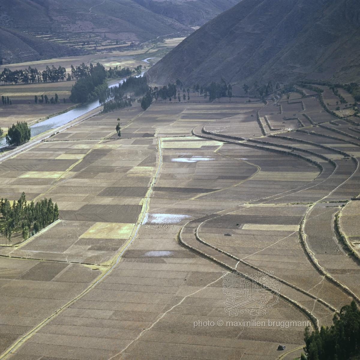
The Sacred Valley of the Incas (Valle Sagrado de los Incas) in the Cusco region of Peru. On the left in the background, the Urubamba River (Río Urubamba) flows through the flat valley floor. On the right-hand side, the characteristic, curved agricultural terraces of the Incas can be seen. These served to make steep mountain slopes cultivable, prevent erosion and create microclimates for various crops (primarily maize). The flat floor of the Urubamba Valley is divided into regular, chequerboard-like fields and is still used intensively for traditional farming today. A historic, highly sophisticated system of canals runs through the fields, channelling meltwater from the surrounding Andean glaciers directly onto the cultivated land. – 1969